This is one of those posts about a place somewhat “beyond” the Bodie Hills. But there is a connection: when traveling to the Bodie Hills, I often travel across Monitor Pass, on State Route 89 in Alpine County, east of Markleeville. It’s a wonderfully scenic and botanically interesting area — one of my favorite places along the route to Mono County. Earlier this year I started making a map of the Monitor Pass area (during some spare hours at the office) as a way of getting to know the area better.
Monitor Pass and Vicinity, from Markleeville to Topaz (click to enlarge, back to return):

But then the Washington Fire happened. According to InciWeb, the fire incident information system, it was ignited by lightning sometime in early June, but remained small and undetected until June 19, 2015. Between then and the first week of July, nearly 17,800 acres of pine forest and sagebrush scrub burned in the East Fork Carson River watershed between Markleeville and Monitor Pass. Nearly 1200 personnel worked hard to bring the fire under control. They prevented damage to the small city of Markleeville and many nearby recreational sites. Remarkably, they got the Monitor Pass and Ebbetts Pass roads open and safe to use in time for the annual “Death Ride” on July 11 — a grueling, high-profile, high-altitude cycling event with 5 mountain pass ascents over a course of 129 miles.
So my map of a favorite driving route turned into a fire history map of the Monitor Pass area. I downloaded the final perimeter of the Washington Fire (a KML file available from InciWeb). Then I found a statewide fire history geodatabase from the California Fire and Resource Assessment Program (FRAP) that maps incidents as far back as 1878, though the earliest fire mapped in the Monitor Pass area is 1941.
Fire history map of the Monitor Pass area (click to enlarge, back to return):

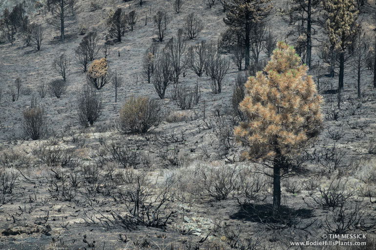
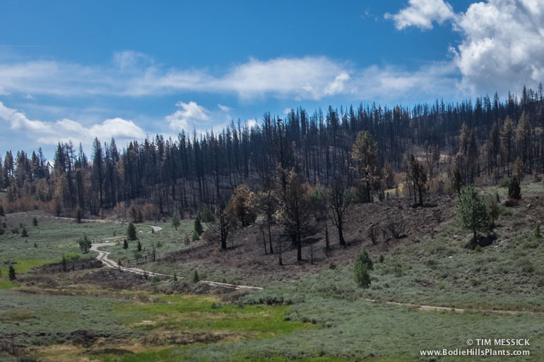
Fires have very long-lasting effects in this region of steep, arid topography. Pines, junipers, sagebrush and other large woody shrubs take many decades to recover even to a fraction of the cover that was present before a large fire. Areas that burned east of Monitor Pass in 2004 still have little woody vegetation. Areas that burned in the ’70s, ’80s, and ’90s are still clearly visible from the air, in Google Earth, or on the ground. Vegetative biomass and the wildlife habitat it provides takes a very long time to recover.

Washington Fire burn area, near Heenan Lake, 7/12/2015

Washington Fire perimeter, near Heenan Lake, 7/12/2015
The maps were compiled in Adobe Illustrator with the Avenza MAPublisher plug-in from GIS data available on the internet. The shaded relief background was created in Adobe Photoshop with the Avenza Geographic Imager plug-in and digital elevation data available from USGS.
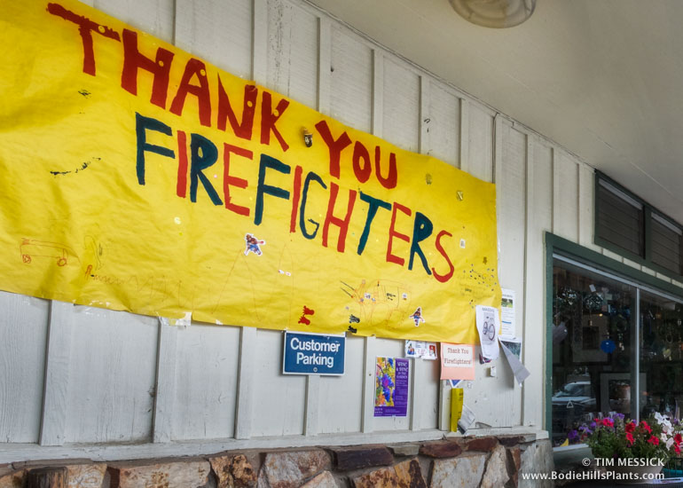 After the fire, in Markleeville
Copyright © Tim Messick 2015. All rights reserved.