Mapping the Bodie Hills

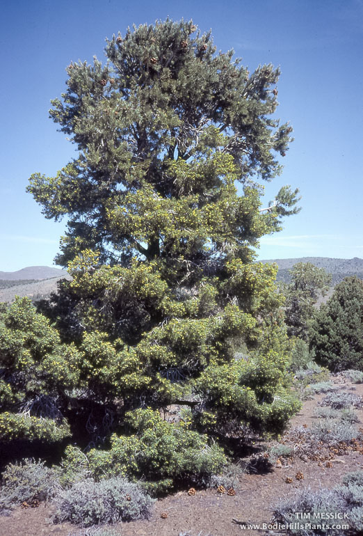
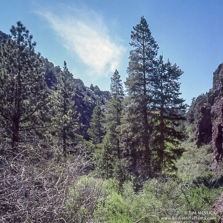
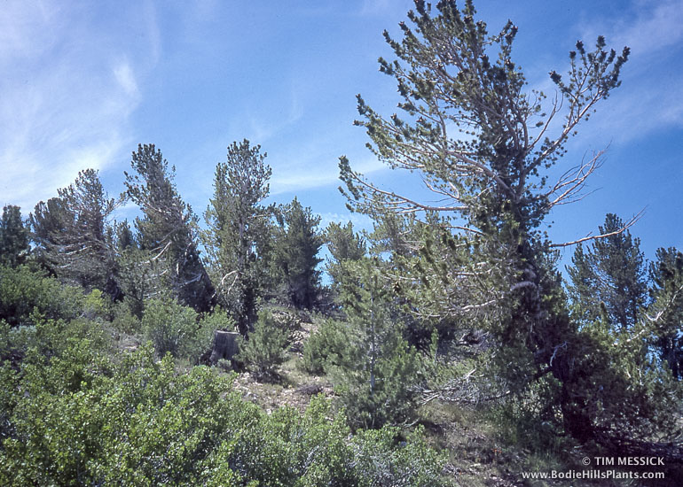
Map-making is a big part of my day-job (at ICF International in Sacramento). I’ve loved detailed maps since I was a kid, especially maps of wild places in the mountains and deserts of California and elsewhere. So naturally, I want to make a nice map of the Bodie Hills. Several others exist already (see links below), but I want to make my own for this book on the plants. Here’s a current (March 2015) draft of the map, and below are some notes on how it was made.

Map of the Bodie Hills and Vicinity

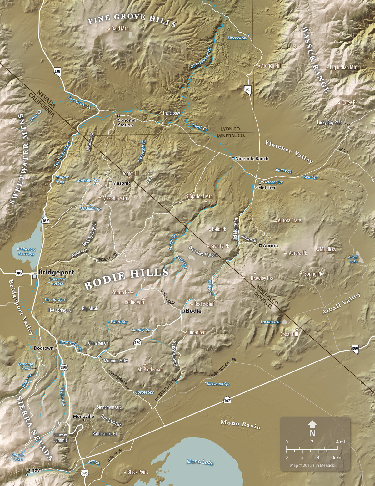
The Bodie Hills and Vicinity (click to enlarge in a new tab)


This map was built in Adobe Illustrator, with help from Adobe Photoshop and two great cartographic plug-ins: MAPublisher for Illustrator, and Geographic Imager for Photoshop, both from Avenza Systems in Toronto.

The shaded relief background was created using digital elevation models (DEMs) from the The National Map. DEMs are a special image format wherein darker pixels represent lower elevations and lighter pixels represent higher elevations. Geographic Imager enables Photoshop to interpret this as a shaded relief image with the light source set to any angle and elevation. Geographic Imager also lets you create custom color gradients to help distinguish low, middle, and high elevations within the map area.

The roads, water features, and boundaries on the map were added using georeferenced vector data (shape files and KMZs) downloaded from various on-line sources of GIS data. Some of this was organized and edited in Google Earth Pro. These data and the georeferenced shaded relief image were all brought together using MAPublisher, which turns Illustrator into a very functional and designer-friendly Geographic Information System — a really nice tool for cartography. The labels were all added in Illustrator, which gives you complete control over the appearance of text and other artwork.

I mentioned there are some other good maps of the Bodie Hills, and here they are:

1) The Bodie Hills Map (by Tom Harrison Maps)

2) The US Geological Survey 7.5-minute topographic quadrangles for the Bodie Hills are (in the red outline with bolded names):

Map_Downloader_990

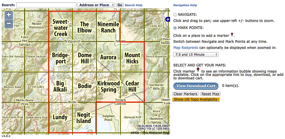
These can be downloaded for free from the USGS Map Store Map Locator & Downloader page. This is a great resource, but it’s a little complicated. On the Locator Map (see the screenshot above), zoom in to the area north of Mono Lake, select the “Mark Points” mode, click on a quadrangle to make a red pin appear, then click on the pin to get a list of available maps. Scroll through the list (which is in descending chronological order), and click on the file size in the “Download” column to start downloading a PDF of the selected map. The newest maps are very recent. The oldest are less detailed and cover larger areas, but are more than a century old—interesting to compare with today’s roads, towns, and place names.


Pines of the Bodie Hills

Four pine species are found in the Bodie Hills, but only only one is abundant. The other three occur in small areas of locally favorable habitat, hangers-on from a time centuries ago when the climate was wetter and cooler than now.

Single-leaf pinyon pine

Single-leaf pinyon pine

Single leaf pinyon (or piñon) (Pinus monophylla) is the abundant one. It’s common at low to mid elevations in the range, mostly below 8,200–8,400 feet, and occasionally up to 9,000 feet. Pinyon-juniper woodlands, typically with varying amounts of pinyon and Utah juniper (Juniperus osteosperma) growing together, are common in a belt all the way around the range. Single leaf pinyon is common throughout much of the Great Basin, and it’s the tree for which the Pine Grove Hills (just north of the Bodie Hills) and the Pine Nut Mountains (east of Carson City) are named. The seeds of these beautiful trees were a staple food of indigenous peoples wherever pinyons grow, and are still harvested by today’s native Americans. Pinyon jays and other wildlife depend on these seeds for their survival.

From low elevations to high, the three less common pines are:

Pinus jeffreyi

Jeffrey pine

Jeffrey pine (Pinus jeffreyi) is abundant on the east side of the Sierra Nevada, especially between Mono Lake and Mammoth. In the Bodie Hills, it occurs in about two dozen very small stands in three areas: (1) the west-central Bodie Hills, mostly in and near Hot Springs Canyon, (2) the far north end of the Bodie Hills, with the largest stand in the Mineral County segment of lower Masonic Gulch, and (3) on the south side of east Brawley Peak. All of these stands are on or near soils derived from hydrothermally altered andesite (i.e., areas of ancient hot spring activity). These soils are lighter in color and more sparsely vegetated than adjacent soils, which are darker and often densely vegetated with sagebrush and pinyon pine.  The hydrothermally altered soils have lower pH, less calcium, and less phosphorus. This and the lack competing vegetation may enable Jeffrey pine to tolerate lower annual precipitation than where Jeffrey pines normally grow (Source: DeLucia et al. 1988. Water relations and the maintenance of Sierran conifers on hydrothermally altered rock. Ecology. 69(2): 303-311.)

Pinus contorta

Lodgepole pine

Lodgepole pine (Pinus contorta) is common throughout the Sierra Nevada and many other western mountain ranges. In the Bodie Hills it locally abundant at just one location: an unnamed canyon on the north side of East Brawley Peak than meets Bodie Creek (in Del Monte Canyon) about 1.7 driving miles northeast of the state line. (If you know a name for this canyon, please let me know!) The stand extends, almost continuously, from an elevation of 7,130 feet up to above 8,100 feet, almost to where the limber pines begin. A few other very small stands and even some isolated individuals can be found on north-facing slopes where snow melts late in the mid-portion of the range.

Pinus flexilis

Limber pine

Limber pine (Pinus flexilis) is common in the high Sierra Nevada on rocky ridges and scree slopes at treeline. In the Bodie Hills, however, limber pine is restricted to small populations on north-facing slopes on some of the highest summits in the range. The largest stand is on East Brawley Peak, extending from the summit, at 9,420 feet, down the north side to about 8,600 ft. Parts of this stand burned in the Spring Peak Fire of August, 2013. Two other stands are on Mt. Hicks and another summit just south of Mt. Hicks. A few scattered individuals survive on Bodie Mountain, at the edges of what in “normal” years should be a long-lasting snow bank on the north side of the summit. There may be another very small stand on a ridge north of Potato Peak—or they might be lodgepoles—either way, this site needs to be checked in the field.

Botany and Natural History in the Bodie Hills and Beyond

Welcome to a website about the botany and natural history of the Bodie Hills and vicinity. Where are the Bodie Hills? In northern Mono County, California and western Mineral County, Nevada. North of Mono Lake and east of Bridgeport Valley, where the Great Basin meets the Sierra Nevada.

Hulsea algida and Potato Peak

Hulsea algida on the north side of Bodie Mountain. Potato Peak in the distance.

My intent with this blog is to post material related to my preparation of an e-book listing plants that occur in the Bodie Hills. This is an update of the MA thesis I prepared as a botany graduate student at Humboldt State University a few decades ago. That thesis was completed in 1982, but never became a publication. Now that the world is all digital and I happen to use graphic design and publishing software in my work, it’s relatively easy to package and deliver content in a variety of self-published electronic and printed formats.

But first, the botanical information needs to be updated. A lot of plant names have changed in the last 33 years and a bunch of plant genera have been reorganized and placed into different families. Also, some additional plant collecting has been done in the Bodie Hills, resulting in species being recorded that I did not find there during my three summers of collecting years ago.

Currently (2014-2015), I’m updating and formatting the content, preparing a map or two, and visiting the Bodie Hills for some new photographs and a bit of plant hunting. There will be blog posts on plants, sites of botanical interest, plant identification, and more.

Along the way, I’m running into some other interesting information about the history and geography of the region that I would like to share—forgotten place names, shards of history and geography, places worth visiting, and other happenings in and around the Bodie Hills. I’ll blog about those as well.

Have you found an unfamiliar plant or a curious bit of habitat or geology in or near the Bodie Hills? I’d love to hear about it. Leave a comment on any post or go to my Contact page. Thanks for visiting!

Carex douglasii at Bodie

Carex douglasii at Bodie.