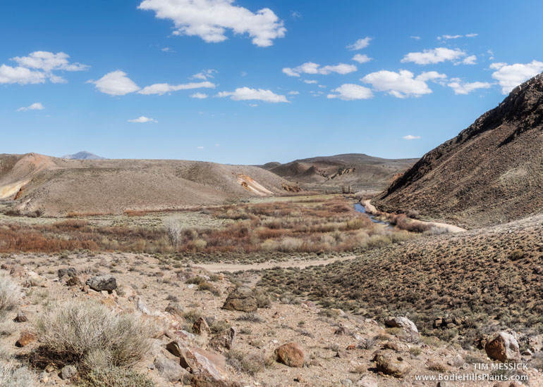
Last weekend (in late March), I drove east along the north edge of the Bodie Hills, following the well-graded forest road NF-028. The East Walker River flows east here between the Bodie Hills to the south and the Pine Grove Hills to the north. In a canyon at the edge of Fletcher Valley, the river makes a couple of sharp bends at a place called “The Elbow.” From here the river flows north toward Yerington.
Desert Bighorn Sheep
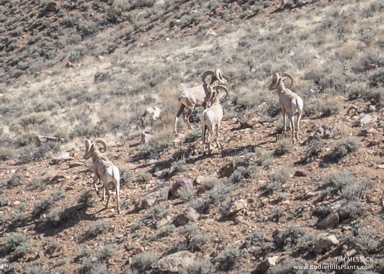
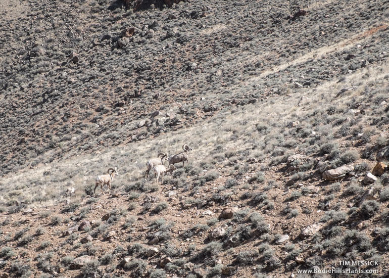 I hardly expected to see four adult male desert bighorn sheep (Ovis canadensis nelsoni), but suddenly here they were, on a hillside below the grade called “Dead Ox Pitch”, jogging south toward a steep, rocky hillside. Had they been grazing in meadows near the river? Was this unusual? Has the very dry winter and 4-year drought forced them to visit areas they would usually avoid? Did they continue on into the Bodie Hills or return to the Pine Grove Hills? Apparently these animals are known to occur in the Pine Grove Hills. (If you’re a sheep biologist, please leave a comment!)
The Elbow from Dead Ox Pitch
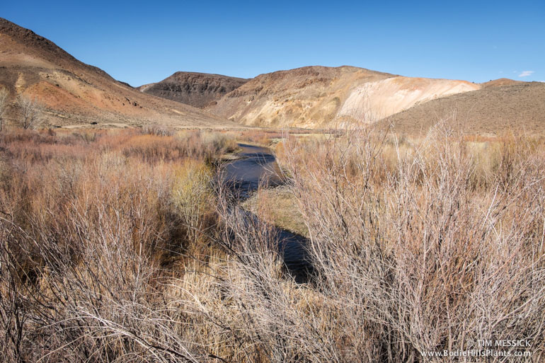
East Walker River at The Elbow
Another interesting view along NF-028: from where the road crests a hill just east of the paved highway (Nevada 338), you can look south across the valley of the East Walker into the bottom of Masonic Gulch. With binoculars, you can make out a stand of Jeffrey pine trees (Pinus jeffreyi), part of the largest stand in the Bodie Hills. It continues south in Masonic Gulch to about the California state line.
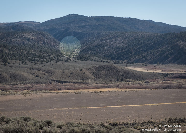
Jeffrey pines (at the bright circle) in Masonic Gulch
© Tim Messick 2015. All rights reserved.