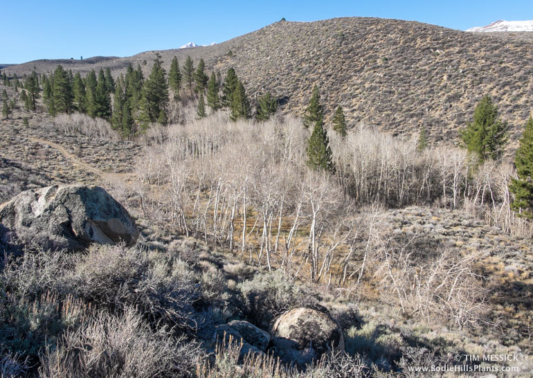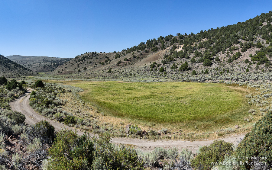
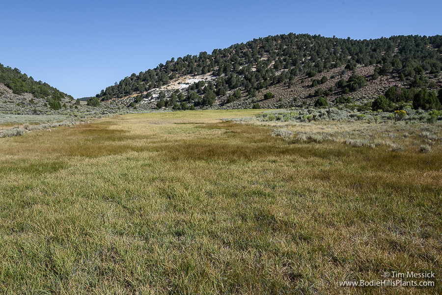
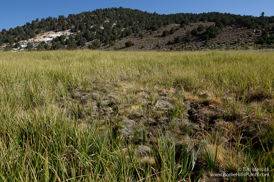
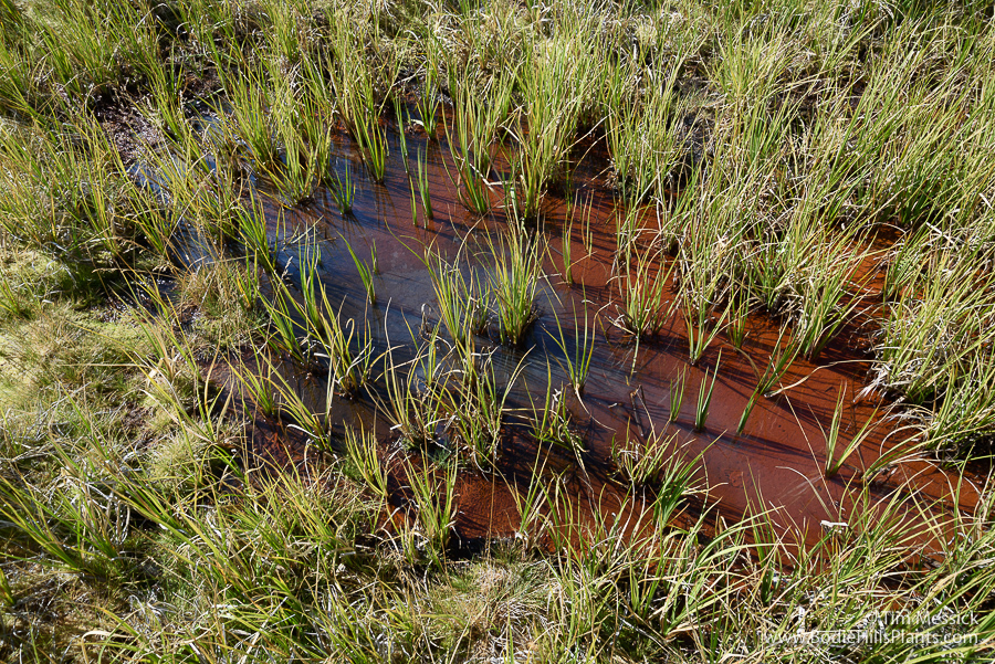
There’s a tiny fen (about one-half acre in area) within a somewhat larger meadow (about 1 acre) in Cinnabar Canyon in the Bodie Hills. The most abundant and characteristic plant in this meadow is a Sphagnum, or peat moss (possibly S. fimbriatum, but this needs to be checked using the most recent keys). The peat growth is deep and spongy wet, even late into the dry season. It’s a “mound fen” — water seeps slowly from a spring at the highest point in the meadow. Vascular plants in the meadow include abundant Nebraska sedge (Carex nebrascensis) and Tufted hair grass (Deschanpsia cespitosa), with a few very scrawny Swamp laurel (Kalmia polifolia) plants. The Kalmia was probably more robust and much more at home here during the cooler climate of the Little Ice Age (circa 1300 to 1850).
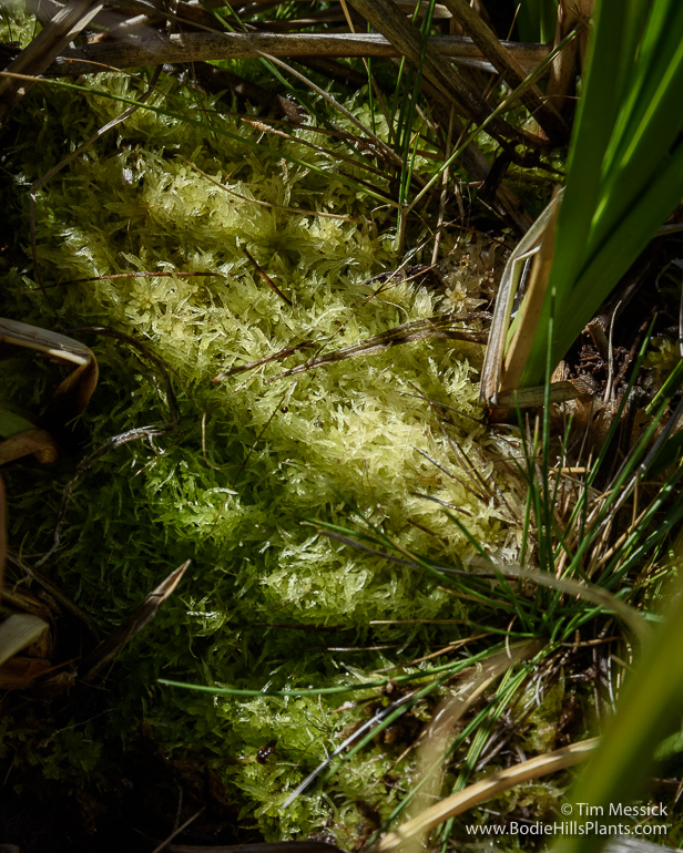
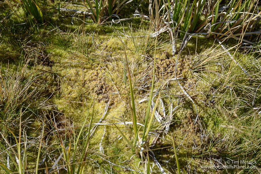
Sphagnum sp.
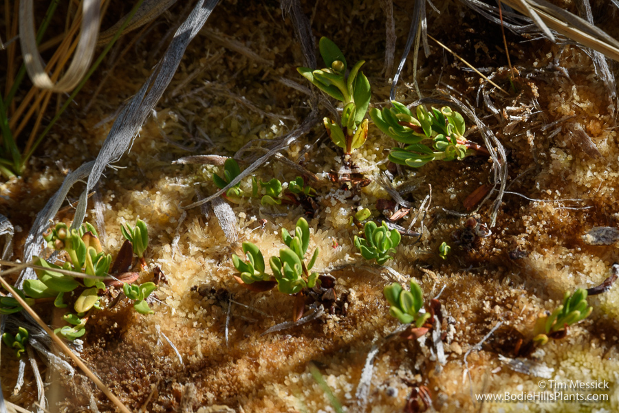
Kalmia polifolia
Carex and Deschampsia
This place fills me with questions, but skimming through the on-line literature about peatlands in the Great Basin and Sierra Nevada reveals very few answers.

Why is this bog here? What is it about the geology, hydrology, or history if this place that led to the formation (or persistence?) of a fen here, and not in any number of other seemingly similar meadows? Why aren’t there more peaty wet meadows in the Bodie Hills? (There is a suggestion in the literature of just one other that I haven’t seen, near Dry Lakes Plateau.)
How long has the fen been here? Peat deposits at other locations in the Great Basin and beyond (some actively growing, some not) have been examined to determine the relative abundance of different kinds of pollen and diatoms at various depths. The peat deposits can be dated at various depths with the aid of identifiable volcanic ash layers. These findings are used to infer changes in vegetation and climate over centuries or millennia. I’m not a palynologist, but I would love to know what a few core samples might tell us about the history of this place.
Are there invertebrates that favor these acidic fens, and are they present here? Is there anything unusual about the chemistry of the water in this spring? The water feels cold, but how does the hydrology of this meadow relate to the band of hydrothermal activity (some still active, some long dormant) extending from roughly Cinnabar Canyon northwest to Travertine Hot Sprigs, near Bridgeport?
The spring
Unfortunately, the meadow is not in the best of shape. I wish it could be fenced. Trampling by sheep has disturbed the surface and shallow subsurface of the growing peat layer. (But it looked about the same 35 years ago.) This trampling probably reduces the abundance of some plants, degrades the habitat for some invertebrates, and introduces nutrients unfavorable to some of the flora and fauna here.
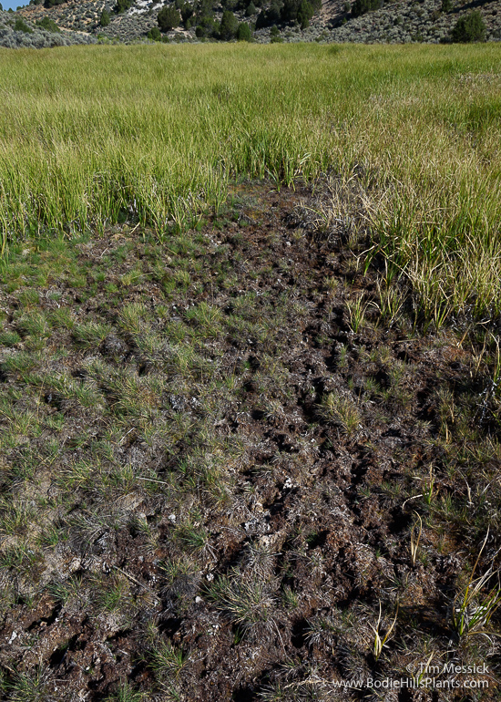
Trampled peat
Copyright © Tim Messick 2017. All rights reserved.
DOWNLOAD THE CHECKLIST