

Fletcher from the east. East slopes of the Bodie Hills behind.
Fletcher has never been more than a dot on maps of Mineral County (Nevada), but in the late 1860s, when Aurora was a busy mining camp, this little spring-fed oasis at the northern tip of the Aurora Crater lava field became a welcome rest stop on the rough wagon roads from Hawthorne to the east and Carson City to the north.
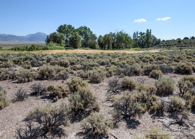
Fletcher from the west. Corey Peak in the Wassuk Range in the distance.
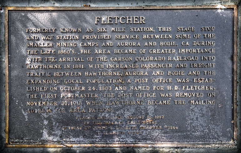
A plaque in the shade of a tall willow reads: “FLETCHER: Formerly known as Six Mile Station, this stage stop and way station provided service between some of the smaller mining camps and Aurora and Bodie, CA during the late 1860s. The area became of greater importance with the arrival of the Carson and Colorado Railroad in 1881. With increased passenger and freight traffic between Hawthorne, Aurora, and Bodie and the expanding local population, a post office was established on October 24, 1883 and named for H. D. Fletcher, the first postmaster. The post office was removed on November 10, 1918, when Hawthorne became the mailing address for area patrons.”
There isn’t much on the internet about the history of Fletcher. You can read a little more here and here.
The spring here is one of the few perennial sources of potable water in the eastern Bodie Hills and in all of Fletcher Valley. It also supports a few acres of wetland and riparian vegetation, so it’s attractive to wildlife. It has probably been attractive to all inhabitants of the region for thousands of years.
The spring at Fletcher.

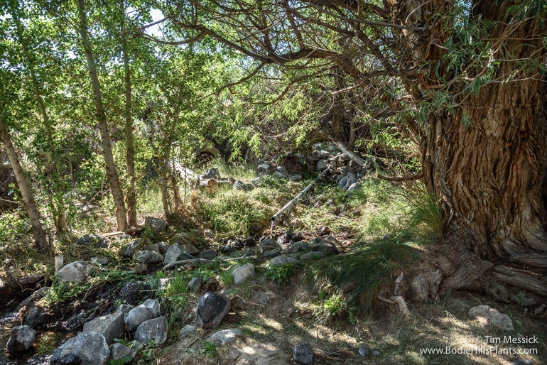
The only remaining structure.
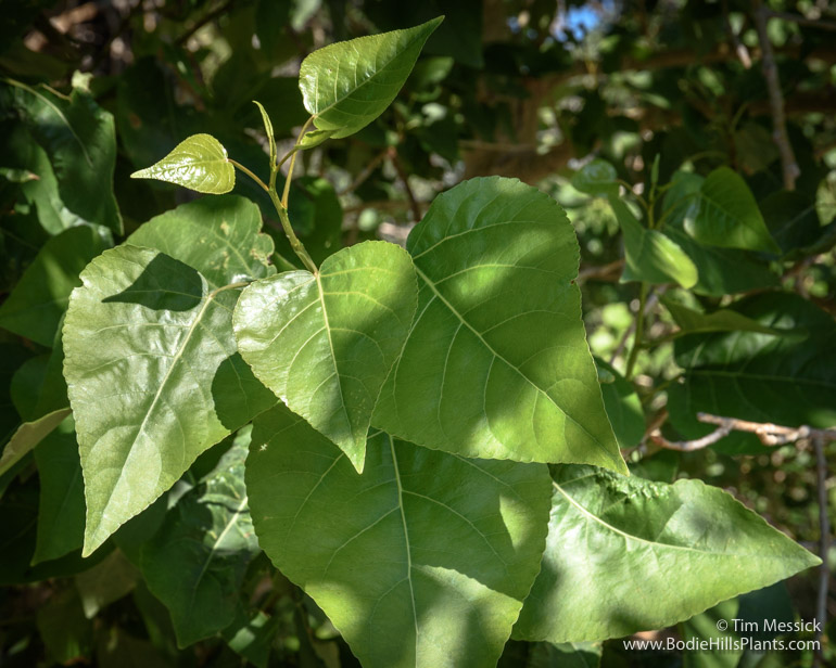
Trees here include four species of Populus: Fremont cottonwood (P. fremontii), black cottonwood (P. trichocarpa), quaking aspen (P. tremuloides), and the non-native Lombardy poplar (P. nigra ‘Italica’). At least two, probably three willows are here, but I need to return for flowering material to key them reliably.
Populus trichocarpa

Populus tremuloides

Meadow and emergent marsh fed by the spring at Fletcher.

Cattails (Typha) at Fletcher.

Fletcher (black dot in yellow circle) on a portion of the 1873 “Topographical Map of Central California Together with a Part of Nevada” [Sheet IV], by Charles F. Hoffman of the California Geological Survey (link to Sheet IV in the David Rumsey Map Collection).

Fletcher (black dot at yellow arrow) on a portion of the 2014 Nevada Department of Transportation “General Highway Map”, Quadrangle 8-10.
Copyright © Tim Messick 2016. All rights reserved.
DOWNLOAD THE CHECKLIST

Great post. Thank you for the info Tim!