The Bodie Hills are well known for the mineral wealth extracted at several locations, especially Bodie Bluff. There are more riches in these hills than just gold and silver, however. Numerous plants occur in the Bodie Hills that are limited in distribution to relatively small areas of eastern California and western Nevada. Some of these are restricted to unusual soils or microenvironments. These plants have no known “uses” or monetary value to people, but they are treasured elements of the biological diversity of this area.
I recently joined some friends from the California Native Plant Society for a “Rare Plant Treasure Hunt” in the Bodie Hills. Our quest was to confirm the continued presence of some of these plants at previously documented locations in the Bodie Hills. It was late July, a time when many of the mustards, annuals, and other early-flowering plants had already dried up and broken apart, no longer identifiable to species. So we explored the higher elevations on Bodie Mountain and the perennially moist areas at Travertine Hot Springs.

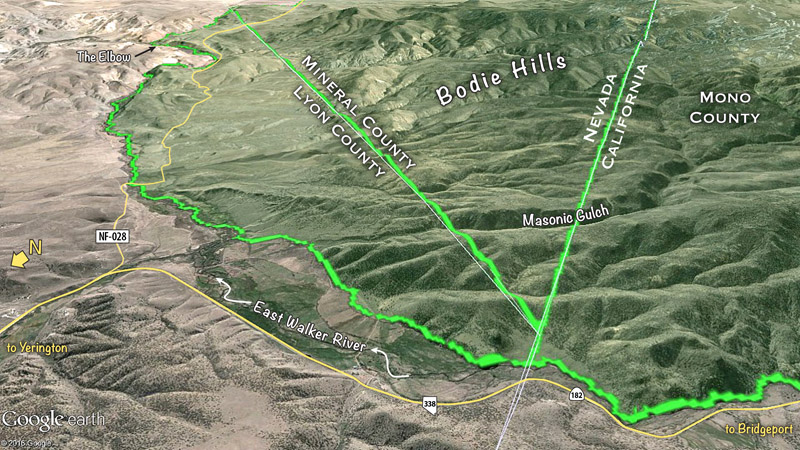
Bodie Mountain
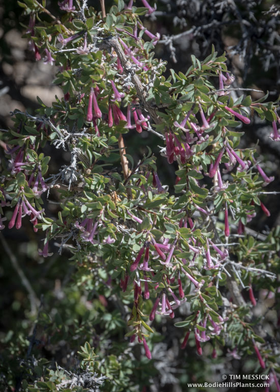
On Bodie Mountain, one of our party was looking for Valeriana pubicarpa (Valerian), collected in this area (probably near where Geiger Grade crosses Rough Creek) by Annie Alexander and Louise Kellogg on July 2, 1945. It hasn’t been seen since, although the similar Valeriana californica is also in this area. The valerians had finished blooming for this year, though, and I didn’t see any.
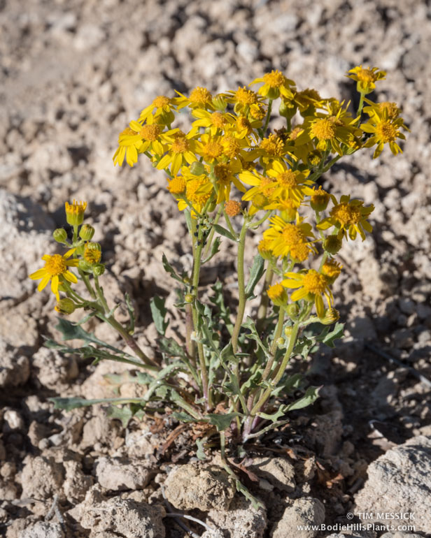
Several other interesting, locally uncommon plants were doing well on the steep, rocky, northern slopes of Bodie Mountain. These slopes are colder, wetter habitats than the surrounding sagebrush, because they accumulate more snow during winter and thus have a longer, cooler spring season than the rest of the mountain. More about this another time, but one very characteristic plant of these areas is Heuchera parvifolia (Little-leaf alum-root).
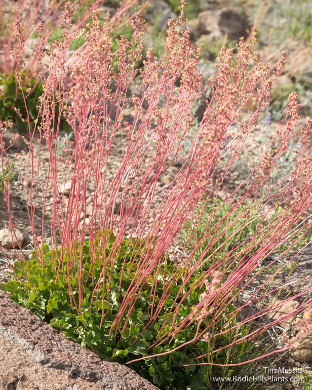
Heuchera parvifolia
Back in the day, these plants were recognized as a related, but separate species, Heuchera duranii, with a distribution limited to the White Mountains and other high ranges of the far western Great Basin. With more collecting throughout the Great Basin in recent decades, though, H. duranii has come to be considered within the geographical and morphological limits of H. parviflora, and H. duranii has faded into synonymy.

Heuchera parvifolia
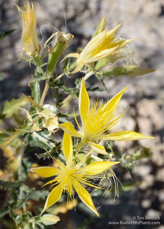
The next day we strolled around Travertine Hot Springs (see also the previous post), looking for Mentzelia torreyi (Torrey’s blazing star). The larger-flowered Mentzelias, the “blazing stars,” are summer-blooming plants, so late July was exactly the right time to be seeking this one.
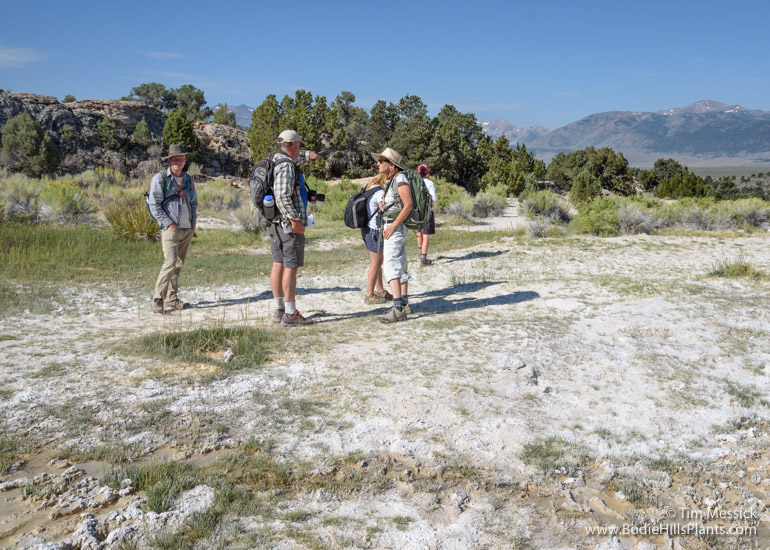
Biologists at Travertine Hot Springs
We found numerous small, widely scattered patches of M. torreyi. It seems to be doing well here, mostly undisturbed by visitors coming for a dip in the hot spring pools.
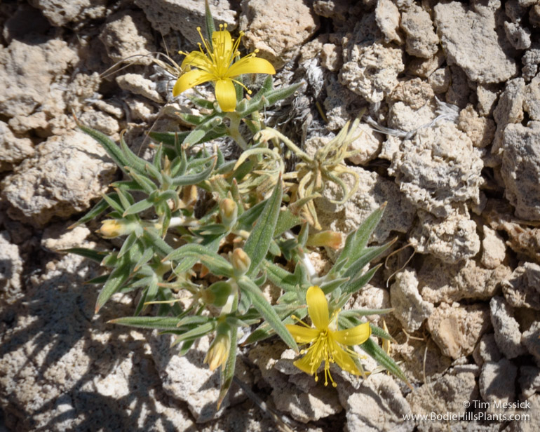
Mentzelia torreyi
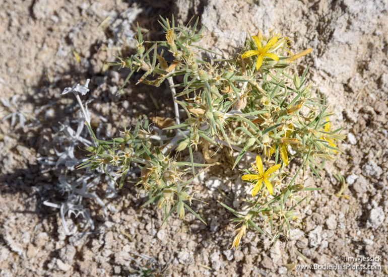
Mentzelia torreyi
Torrey’s blazing star is known from several other locations in eastern California and at numerous locations across central and northern Nevada. Another variety (M. t. var. acerosa) occurs in southern Idaho.
The much taller, larger-flowered, more common and widespread Mentzelia laevicaulis (Giant or Smooth-stem blazing star) also occurs at Travertine Hot Springs, sometimes within yards of M. torreyi. But you will find it in other rocky and disturbed places, such as washes and road cuts, throughout the region.

Mentzelia laevicaulis on a road cut north of Aurora
Mentzelia laevicaulis at Travertine Hot Springs
Copyright © Tim Messick 2016. All rights reserved.
DOWNLOAD THE CHECKLIST