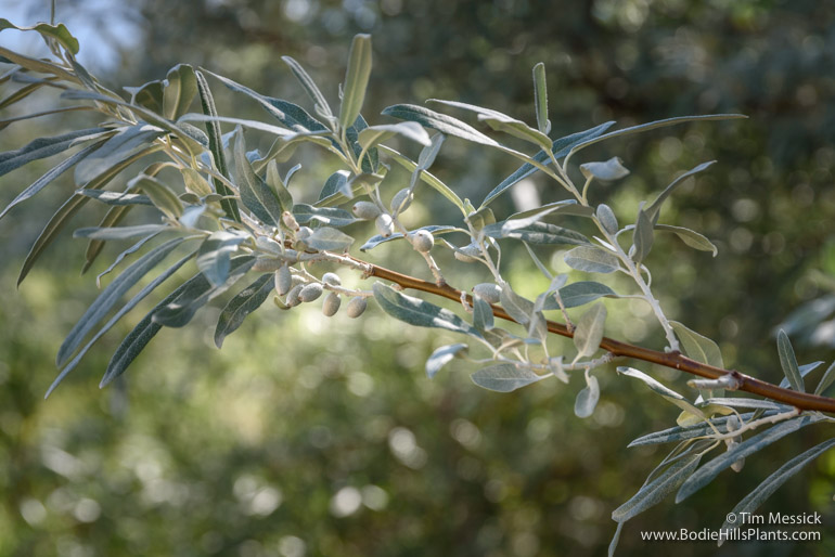
Russian olive (Eleagnus angustifolia) along the road from Fletcher to Aurora.
The Oleaster family, Elaeagnaceae (ee-lee-ag-NAY-see-ee) may be one of the less familiar plant families in eastern California and western Nevada, but the two species we find here are easily recognized and ecologically interesting. Both are large shrubs or small trees with silvery-green leaves and thorny branches. Both are riparian plants — found along streams and rivers. But one is a native plant; the other is an alien.
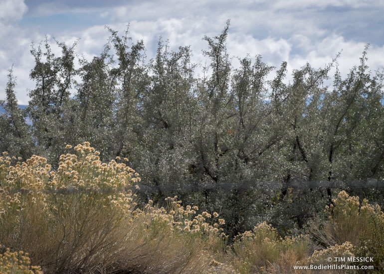
Silver buffalo berry (Shepherdia argentea) thicket near
Cottonwood Creek at Dobie Meadows Road.
Silver buffalo berry (Shepherdia argentia) is native to the Bodie Hills and occurs from the western Transverse Ranges (north of Ventura) to the Rocky Mountains and upper midwest, as far as Wisconsin and Manitoba. In the Bodie Hills, Shepherdia argentia is common along the East Walker River and lower Bodie Creek, and is scattered along many other creeks and at some springs. Silver buffalo berry can be recognized by its opposite leaves and branchlets, ovate to oblong leaves less than 2.5 inches long, and in in late summer, by it’s bright red, berry-like fruits. Two other species are native to North America: Shepherdia canadensis (Rocky Mountains to Pacific Northwest, across Canada and northernmost counties of the U.S.) and S. rotundifolia (in Utah and Arizona) .
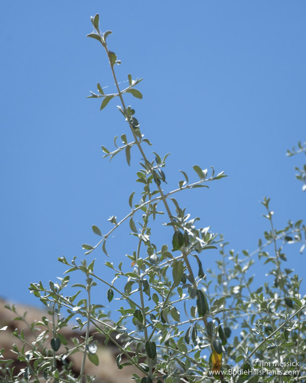
Opposite leaves and branching in Shepherdia argentea.
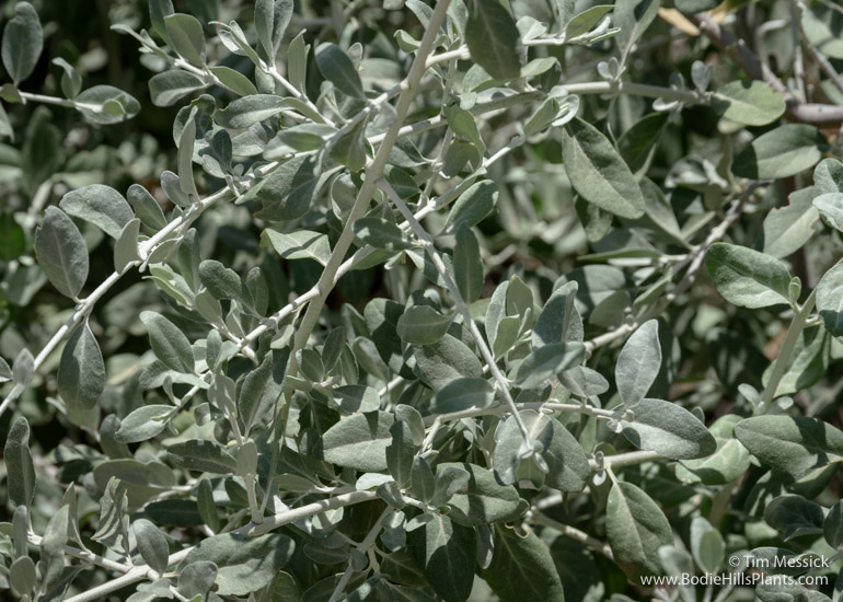
Foliage of Shepherdia argentea.
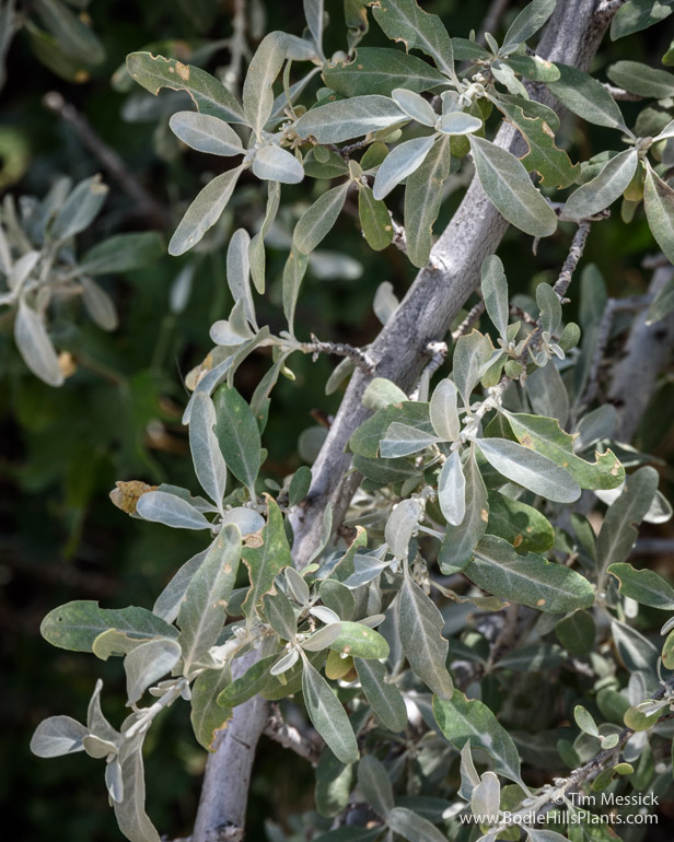
Foliage of Shepherdia argentea.
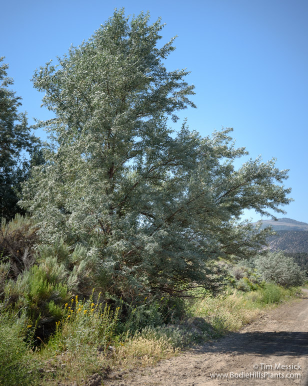
Russian olive along the road from Fletcher to Aurora.
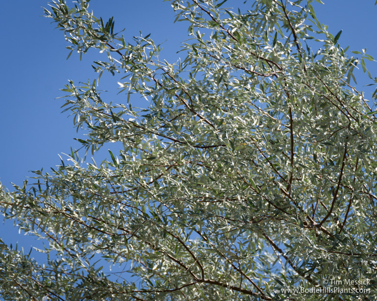
Russian olive (Eleagnus angustifolia) (ee-lee-AG-nus) can be recognized by its alternate, oblong to lanceolate leaves (generally longer and narrower than in buffalo berry), 4-lobed yellow flowers, and greenish-yellow, elliptic, olive-like fruits. Russian olive is native to most of western Asia (including parts of Russia), parts of tropical Asia, and southeastern Europe. It was cultivated in Europe as early as the 1630s. Russian olive was introduced to the central and western United States in the late 1800s as an ornamental tree and a windbreak, after which it spread into the wild.
Animals ate the fruits and dispersed the seeds. The plant tolerates drought and salinity, heat and shade, and a wide variety of soils, though it favors floodplains and riparian areas. Today it is naturalized across the American west and mid-west, several eastern states, and southern Canada. In the Bodie Hills, it’s mostly scattered along the lower part of Bodie Creek, the road from Fletcher to Aurora, and the East Walker River.
Besides spreading naturally, Russian olive was formerly also planted for restoration of disturbed lands, wildlife forage, windbreaks, erosion control, roadway landscaping, and ornamental use. It is no longer recommended for any of these uses and it’s considered a noxious weed in many areas. Although many birds and mammals eat the fruits, numerous sources suggest that native vegetation supports a greater diversity of wildlife than vegetation dominated by Russian olive. (Once again, Nature seems to do things better with less intervention from us.)
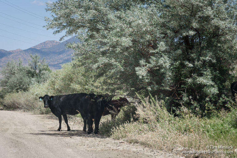
Cattle find a little shade under a Russian olive in July.
Copyright © Tim Messick 2016. All rights reserved.
DOWNLOAD THE CHECKLIST


